About 20,000 years ago
The last glacial maximum
Official pages agree, roughly, on the date. They do not all use the same sea-level sentence, or the same wording for when the present interglacial began.
Official pages converge on a date even when they do not converge on a sea-level figure. The last glacial maximum was “about 20,000 years ago” on USGS Fact Sheet fs2-00, “about 20,000 years ago, during the last phase of the Pleistocene epoch” on a USGS FAQ, and “peaked* around 20,000 years ago” on Climate.gov. [source] [source] [source] NSIDC says the Last Glacial Maximum was “roughly 20,000 years ago.” [source]
How low the sea stood is told in more than one official unit. The fact sheet: “Global sea level was about 125 meters below today’s sea level… (Fairbanks, 1989).” [source] The FAQ: sea level was “more than 400 feet lower than it is today.” [source] NASA Earthdata: “at the peak of the ice ages, sea levels were 400 feet lower than they are today.” [source] This desk does not convert one of those sentences into the other and call the result official.
The USGS FAQ is specific about how much of the world was ice: then, 8% of Earth’s surface, 25% of Earth’s land area, and 33% of Alaska. Retreat began “about 15,000 years ago”; sea level “reached its current height about 8,000 years ago.” Today, the same page says, ice covers 3% of Earth’s surface, 11% of land, and 5% of Alaska. [source] The fact sheet’s Holocene start, “about 10,000 years ago,” is a different official sentence, and is left that way. [source]
NSIDC, on its glaciers page, says that during the Last Glacial Maximum the Laurentide Ice Sheet covered much of North America, and that its weight created basins that now hold the Great Lakes. Currently, the same page says, there are only two ice sheets on Earth: the Antarctic and Greenland Ice Sheets. [source] The science-of-glaciers page adds that ice also covered most of Canada (the Laurentide) and Scandinavia (the Scandinavian Ice Sheet), “but these have now disappeared, leaving only a few ice caps and mountain glaciers behind.” [source]
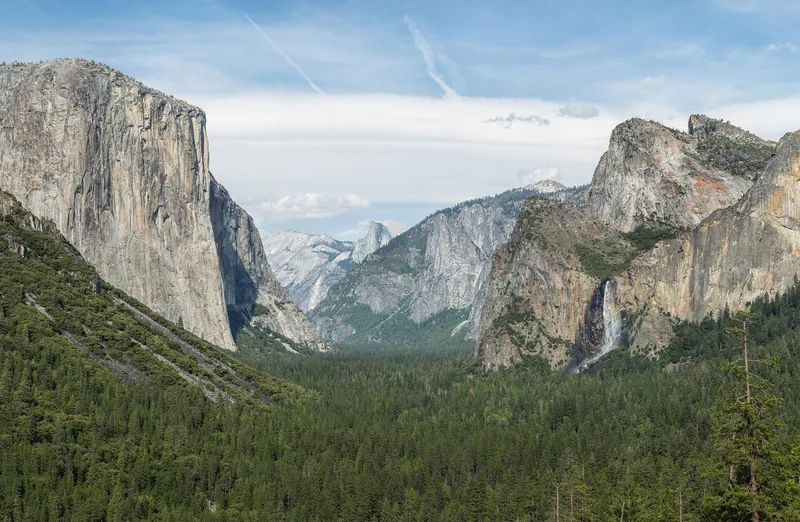
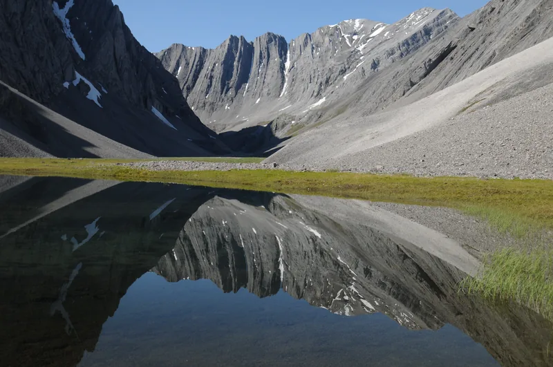
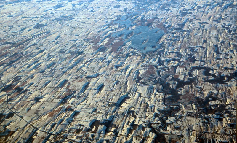
The photograph at the top is a tarn in the Itkillik Preserve, in Gates of the Arctic, which the National Park Service caption sometimes calls “the Yosemite of the Arctic.” The valley below is Yosemite itself, from Tunnel View — a classic U-shaped trough, used here as a landscape, not as a silent official figure. A file caption on the Wisconsin drumlins says they were “left by the retreating glacier about 12,000 years ago.” That date stays a file caption.
Enjoyed a desk of official ice-age wording, unblended, and the marks glaciers still leave?
No pop-ups. No intrusive advertising. Just interesting stuff. A little support helps the next climates.im site get built.